Irrigation Section
The Subarnarekha Barrage project, a new Major Irrigation Project with an irrigation potential of 1,14,200 ha. was identified and proposed for execution in June 1994. The infrastructure development programme of the project has already been taken up. The project has been proposed for obtaining assistance under the Accelerated Irrigation Benefit Programme (AIBP) of the Govt. of India.
Salient Features
| Subarnarekha Barrage | |
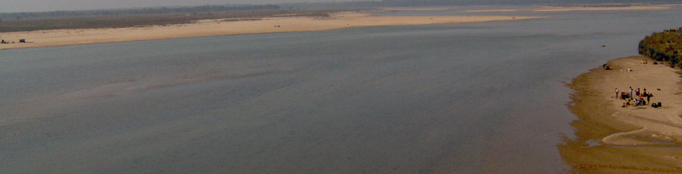
| Location | Bhosraghat, P.S. Keshiary, District Midnapore |
| Name of River and Tributary | Subarnarekha River, Main Tributary – Dolong River within West Bengal |
| Net Culturable Area | 99,248 ha in Kharif, 30,776 ha in Rabi |
| Area to be brought under Irrigation Facility | 10 Blocks in Midnapore District : Danton - I & II Pataspur - I & II Egra – I & II Narayangarh Bhagwanpur – I Contai – I Mohanpur |
| Catchment Area | 17498 sq. km. at Barrage site and 3869 sq. km. between Galudhi and Bhosraghat. |
| Design Flood 100 Years | 21980 cumecs |
| Barrage | i) No. of Bays - Weir Bay 24 Nos. x 18.3 m ii) Span Length - Under Sluice Bay 6 Nos. x 18.3 m iii) Max. Pond Level - 25.5 m iv) Area Affected by Submergence - 850 ha |
| A. Main Canal (lined) | Length – 19.30 km Full supply discharge – 109.20 cusec |
| B. Branch Canal | No. I length – 13.67 km No. II length – 16.20 km |