e-Tenders Corner
- Inauguration Events
-
- Click Here to Know More
-
NoC/SOP/Online Application
(Industrial Discharge Disposal)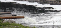
- Gallery
-
About Irrigation & Waterways Department
Irrigation & Waterways Department came into being in the year 1920, separating out from
Public Works Department and was named Irrigation & Waterways only in 1946. In the pre-plan period i.e.,
prior to 1951, irrigation was effected through Diversion Schemes on rivers Kangsabati and Damodar.
Irrigation potential created upto 1951 was of the order of 1,39,000 ha. Now the department is entrusted
with the task
of providing irrigation facilities, offering reasonable protection against flood, alleviating drainage
congestion, arresting erosion, maintaining internal navigation channels
and up-keeping the natural waterways in the state. Know More
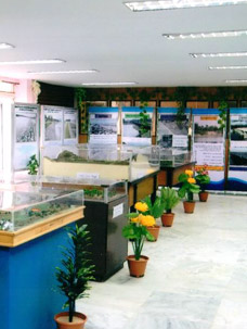
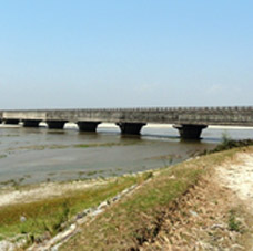
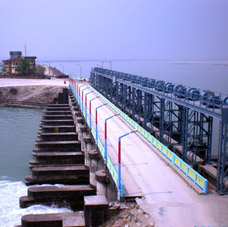
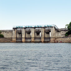
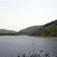
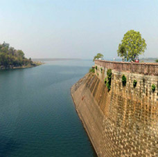
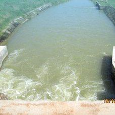
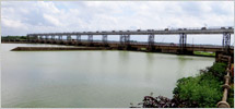
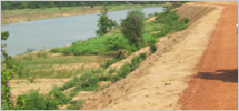
Projects Photo Gallery
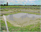
Water Harvesting Project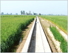
Watercourse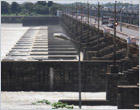
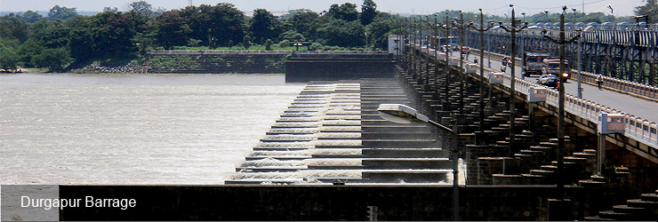
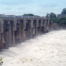
Durgapur Barrage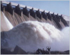
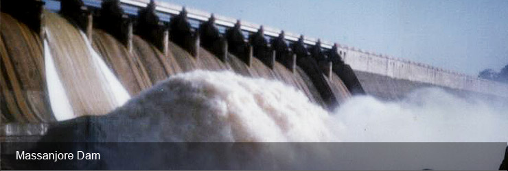
Massanjore Dam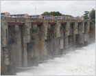
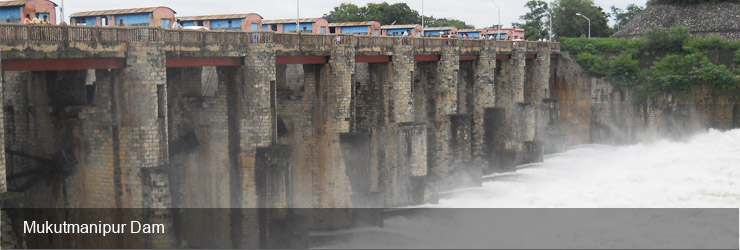
Mukutmanipur Dam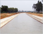
Bishnupur Canal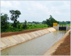
Simlapal Canal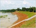
Silabati River
Citizens' Corner

- Posting by Citizens
- Status of Citizen's Postings
- Citizen posting regarding flood
- 2911 Latest Approved Format
- e-RFP Guidelines
- Archives Administrative Calendar
- REOI for WBMIFMP
- WBMIFMP
- Debarred Contractor
- EOI-2, Damodor Irrigation Circle
- 2nd Corrigendum to EOI-2, DIC
- 2nd Addenda and Corrigenda to RFP No DICIWEAPRFP-12017-18
- FBO for ESIA
- Unified Schedule of Rates
- EOI for Automation of Messenjore Dam
- Guidelines on riverbank protection and anti-sea erosion works in West Bengal
- Guidelines on riverbank protection and anti-sea erosion works in West Bengal - 2nd Revision
- Manual for Lining of Irrigation Canals in West Bengal
e-Tenders & Notices

Irrigation Section
- Mayurakshi Reservoir Project was taken up for execution in 1951. This Project has been completed in all respects in the year 1985. The irrigation potential created through completion of this project comes to 2,50,860 ha. in the districts of Birbhum, Murshidabad and Burdwan...
Flood Management
- West Bengal has 37,660 sq. km flood prone area spread over 111 blocks where the total geographical area of the state is 88,752 sq. km. An analysis of the statistics of flood that occurred during last 41 years has not faced any severe flood. The total devastated area crossed 20,000 sq. km...