Irrigation Section
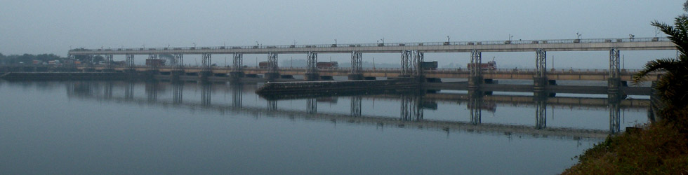
Mayurakshi Reservoir Project was taken up for execution in 1951. This Project has been completed in all respects in the year 1985. The irrigation potential created through completion of this project comes to 2,50,860 ha. in the districts of Birbhum, Murshidabad and Burdwan. Irrigation water is also supplied to the state of Jharkhand from this reservoir to an area of about 6,000 ha. This Project is adjudged to be one of the best performing irrigation projects in India. The project was planned originally for giving water to Kharif and Boro seasons. At present with favourable rainfall we provide irrigation to Boro crops for an area of 20,000 ha (approx.). The industrial requirement of Bakreshwar Thermal Power project is also now made from this project. Though there is no provision for flood control yet with advanced planning it was possible to reduce peak flood of year 2000 by 30%.
Salient Features
| Massanjore Dam | |
| Location | Massanjore near Suri, District Birbhum on the river Mayurakshi |
| Type | Boulder Masonry |
| Catchment Area | 1859 sq. km. |
| Length | 661.58 m |
| Height (Maximum) | 47.25 m |
| Length of Over Flow Section | 225.60 m |
| Number of Bays | 21 (Width of Each Bay 9.144 m) |
| Full Reservoir Level | 121.34 m |
| Dead Storage Level | 106.40 m |
| Design Flood Level | 122.56 m |
| Spillway Level | 116.76 m |
| Design Discharge | 4,446 cumecs |
| Total Storage (DS & LS) | 61,700 Ha.m |
| Total Submerged Area | 6,766 Ha (16,720 Acres) |
| Pick Up Barrage / Weir | a) Tilpara b) Dwarka c) Brahmani d) Bakreswar e) Kopai |
| Tilpara Barrage | |
| Location | Near Suri, District Birbhum on the river Mayurakshi |
| Catchment Area | 3,208 sq. km. |
| Width Between Abutments | 308.84 m |
| Number of Weir Bays | 7 (Width 18.29 m Each) + Under Sluices 8 (Width 18.29 m Each) |
| Linear Water Way | 274.39 m |
| Optimum Pond Level | 64.33 m |
| Design Upstream Water Level | 64.63 m |
| Design Discharge | 8,495 cumecs |
| Canal Discharge | 99.11 cumecs |
| Length of Main Canal | a) Left - 16.62 km b) Right - 22.53 km |
| Irrigable Area | a) Kharif - 2,26,629 Ha b) Rabi - 20,250 Ha Birbhum, Murshidabad & Burdwan |
| Maximum Irrigation Achieved | a) Kharif - 2,20,730 Ha b) Rabi - 8,150 Ha c) Boro - 25,400 Ha |
| Bakreswar Weir | |
| Location | Kadisala, P.S. Dubarajpur, Birbhum on the river Bakreswar |
| Catchment Area | 142.45 sq. km. |
| Width Between Abutments | 91.44 m |
| Linear Water Way | 86.87 m |
| Optimum Pond Level | 61.56 m |
| Kopai Barrage | |
| Location | Kultore, P.S. Illambazar, District Birbhum on the river Kopai |
| Catchment Area | 212.1 sq. km. |
| Width Between Abutments | 63.25 m |
| Linear Water Way | 54.86 m |
| Design Discharge of Barrage | 849 cumecs |
| Optimum Pond Level | 55.16 m |
| Dwarka Weir | |
| Location | Deocha, Md. Bazar, District Birbhum on the river Dwarka |
| Catchment Area | 303.03 sq. km. |
| Width Between Abutments | 83.82 m |
| Linear Water Way | 73.15 m |
| Design Discharge | 1132 cumecs |
| Optimum Pond Level | 54.00 m |
| Brahmani Barrage | |
| Location | Baidana, District Birbhum on the river Brahmani |
| Catchment Area | 688.94 sq. km. |
| Width Between Abutments | 126.49 m |
| Linear Water Way | 109.72 m |
| Optimum Pond Level | 42.82 m |
| Design Discharge | 1952.7 cumecs |